Gloucester Docks & |
|
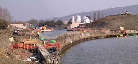
Two Mile Cut - Clearing |
Plans
for 2m Cut Excavating
2m Cut Opening 2m Cut
2m Cut Summer 06 Netheridge
Bridge |
|
|
For project plans, earlier & later progress and historical background, see links above. |
 Filling
the New Cut
Filling
the New Cut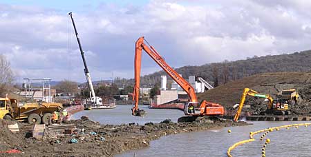 Removal
of Western Plug
Removal
of Western Plug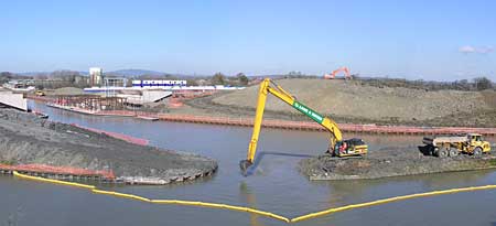 Removal
of Eastern Plug
Removal
of Eastern Plug