|
|
|
MAIN SECTIONS > Home Gloucester
Docks Sharpness Docks
G&S Canal Vessels
People Studies
G&S CANAL PAGES > Canal
Intro Sharpness to Saul
Saul Junction Saul to Gloucester Access
Map
Gloucester Docks & |
|
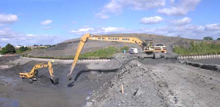
Two Mile Bend - Removing Silt |
Plans for 2m Cut
Excavating 2m Cut
Clearing 2m Cut Opening
2m Cut 2m Cut Summer
06 |
|
|
|
Return to Top Menu Copyright Hugh Conway-Jones 2006 Contact
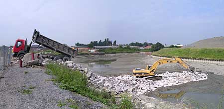 Tipping
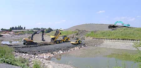 Forming
a Dam at Two Mile Bend
Forming
a Dam at Two Mile Bend